
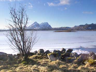
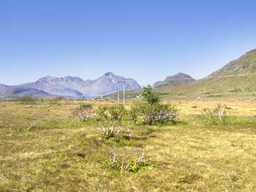
Vestvågøy
- 63
Borgfjord Indre
|
Site/Artefact Type Site
Number NGO Grid
Reference Map (
1:50000) List of Sites
and Artefacts Interactive
Map |
|
 Description
Registrations from 1970 gives the
following information:
House sites, situated at farm nr. 99/1 (or
99/14) c. 75 m NE from the modern farm house.
Called "Gammelgarden" or "rollar"
Furthest north and highest situated in the
terrain:
2 possible house sites, situated side by side.
Measuring 4x2,5 and 4x3 m.
C. 9 m SSE of 1: House site, (plough disturbance), measuring 15 x 2-3 m.
20 m S of 2: House site (unsure) measuring 7 x 5 m?
Finds: A scissor and a key are supposed to have come from house site 2. These do not exist today.
40 m south of site 3 can we see possible remains of a house. Some pieces of chalk pipes have been found in this area.
Burial mound: localised near by the summer barn.
A farm mound is also localised at farm nr. 99/3.
Excavation Details
Not Available
Access/Ownership
Private property
References
- National Registrations from 1970, Topographical Archive, Museum of Tromsø.
Check out the following sections of the website for related information:
Vestvågøy Sites and Artefacts
Mayo - Vestvågøy - Mid-Argyll
Travels in Time | Overview | Themes |
Timelines | 700BC to 0 | 0 to 800AD | 800AD to 1100AD |
Landscape | Mayo | Vestvågøy | Mid-Argyll | Archaeology |
Other Media | Education | Exhibition | Publication |
Information | Bibliography | Project | Links | Contact |
 This
project has been supported by the EU as part of the Culture
2000 programme.
This
project has been supported by the EU as part of the Culture
2000 programme.